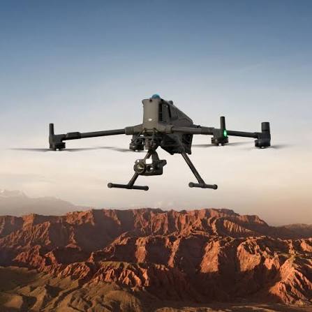
Large-Scale Topographic Survey & Drone Inspection
Geomatics, aerial LiDAR, and non-destructive UAV inspections for solar, wind, power transmission, and mining operations.
Topographic Survey & Geodetic Mapping
High-precision geomatics using long-range VTOL aircraft and industrial multirotors across Uzbekistan, Kazakhstan, and Azerbaijan.
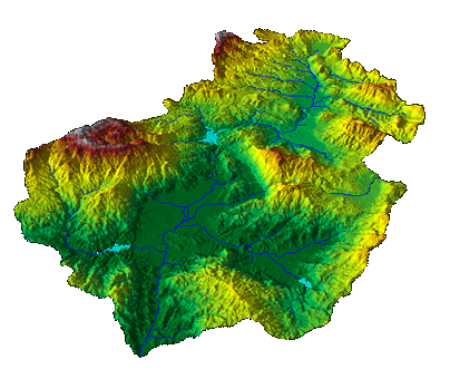
Autonomous VTOL Survey
Quantum-Systems Trinity Pro aircraft covering up to 3,500 hectares daily or 100+ km along pipeline and power transmission corridors without needing runways.
Multirotor LiDAR & Photogrammetry
DJI Matrice 400 with Zenmuse L3 LiDAR and P1 / Phase One P5 photogrammetry. Penetrates dense canopy with up to 16 returns for bare ground elevation models and vertical assets.
Standard Deliverables (AutoCAD & GIS Ready)
Industrial UAV Inspection
Non-destructive aerial testing to eliminate plant shutdowns, replace rope climbing, and pinpoint thermal and structural anomalies early.
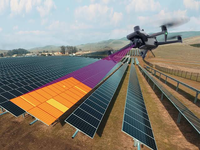
Solar PV Thermal Audits
Thermal audits across utility solar arrays. Detects cell micro-cracks, diode failures, and hotspot defects with radiometric precision without halting power generation.
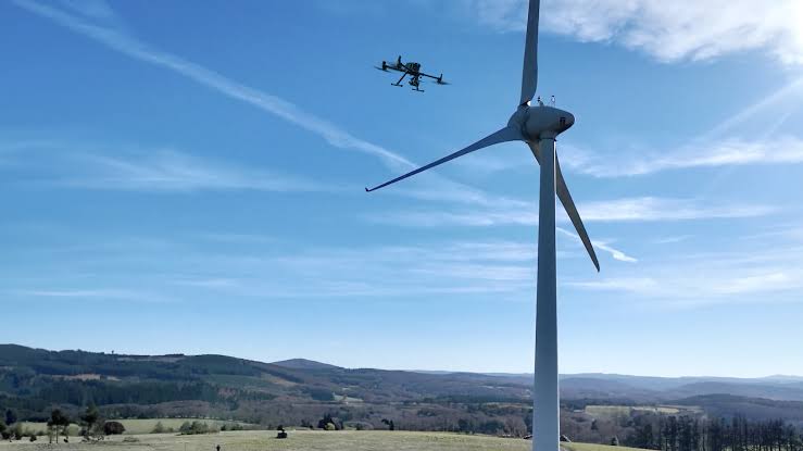
Wind Turbine Inspections
Autonomous high-res optical scanning of blade surfaces. Captures leading-edge erosion, delamination, and lightning damage without hazardous rope access.
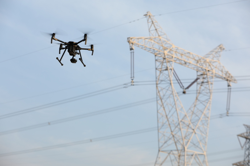
Powerlines & Industrial Plants
Optical zoom and thermal inspection of 110kV–500kV pylons, substations, and live flare stacks using upward-facing gimbals and high-EMI shielding.
Industries We Serve
Tailored UAV survey and inspection workflows across Uzbekistan, Kazakhstan, and Azerbaijan.
Pre-construction concession topography, drainage DTMs, solar thermal audits, and wind blade inspections.
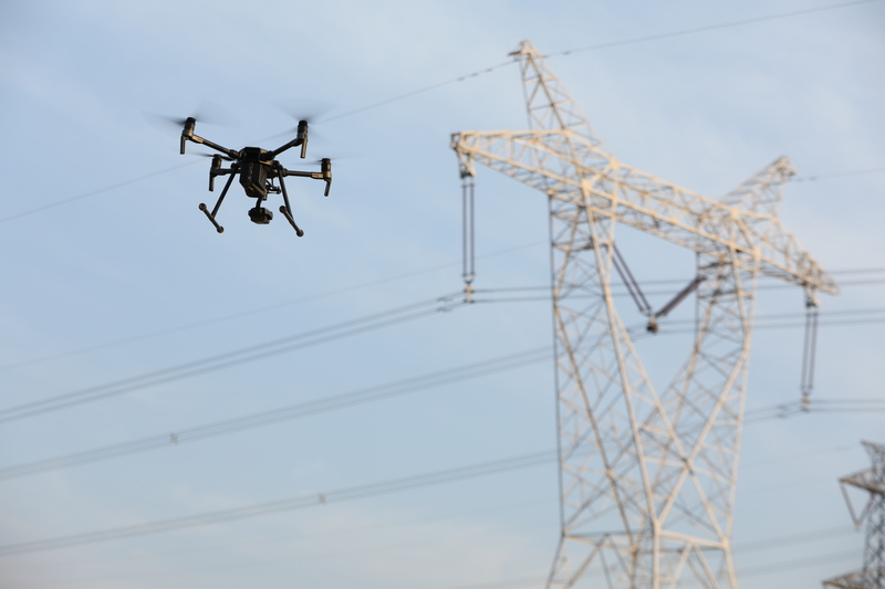
110kV–500kV LiDAR corridor surveys, wire catenary sag calculations, and live insulator audits.

Open-pit highwall monitoring, autonomous stockpile volume reconciliation, and concession topography.

Pipeline right-of-way monitoring, live flare stack inspections, and storage tank scans without shutdowns.

Highway and rail alignments, bridge inspections, hydro dam crack mapping, and cut/fill earthwork balance.
Countries of Operation
In-country flight crews, VTOL and multirotor platforms, and fast mobilization across Uzbekistan, Kazakhstan, and Azerbaijan.
Uzbekistan
Operations HQ
- Solar and wind concession topographic surveys
- Power transmission corridor LiDAR & wire sag audits
- Mining volumetrics and quarry cut/fill reporting
Kazakhstan
Operational Hub
- Energy corridor & pipeline monitoring
- Wind turbine blade & structural NDT inspections
- Mining exploration & stockpile volumetric reconciliation
Azerbaijan
Operational Hub
- Caspian energy corridor & pipeline alignment mapping
- Renewable energy concession topographic baselines
- Industrial facility thermal scans & structural modeling
Fleet & Sensor Equipment
Autonomous eVTOL platforms, enterprise multirotors, long-range LiDAR, and geodetic GNSS systems deployed across Uzbekistan, Kazakhstan, and Azerbaijan.
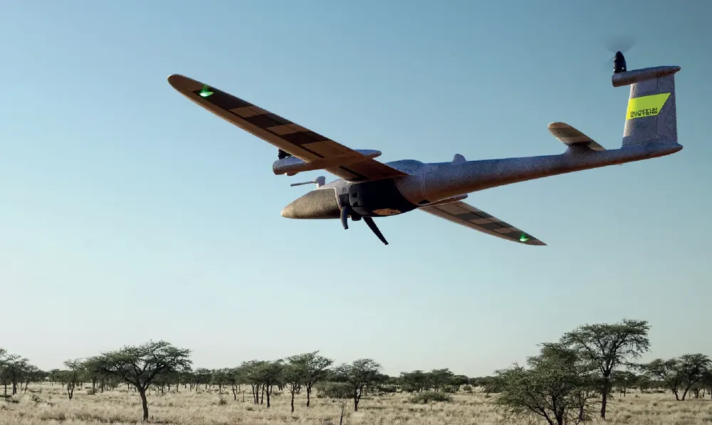
Quantum-Systems Trinity Pro eVTOL
- 90-min flight endurance
- Up to 700 ha area or 100 km linear per flight
- Autonomous VTOL take-off & landing
- PPK-ready GNSS architecture
- Interchangeable RGB, oblique & LiDAR payloads
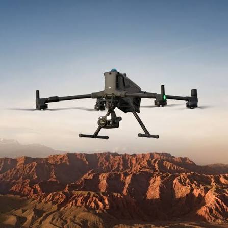
DJI Matrice 400
- Up to 59-minute flight time
- Up to 6 kg payload capacity
- IP55-rated weather-sealed platform
- Integrated LiDAR & mmWave radar obstacle sensing
- Multi-payload simultaneous mounting
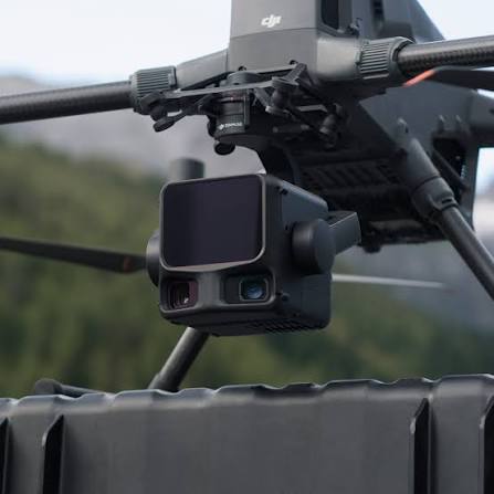
DJI Zenmuse L3 LiDAR
- 1535 nm LiDAR wavelength
- Up to 950 m detection range @ 10% reflectivity
- Up to 2 million laser pulses/second
- Up to 16 returns for canopy penetration
- Dual 100 MP RGB mapping cameras
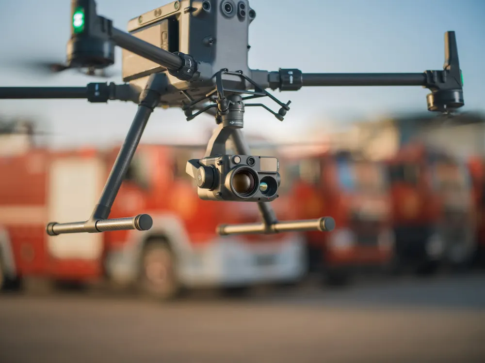
DJI Zenmuse H30T
- 1280 × 1024 radiometric thermal imaging
- 40 MP zoom (34× optical, 400× digital)
- 48 MP wide-angle camera
- 3–3000 m laser rangefinder
- Integrated NIR night inspection mode
DJI Zenmuse P1
- 45 MP full-frame sensor
- Mechanical shutter up to 1/2000 s
- 0.7-second minimum shooting interval
- Integrated TimeSync georeferencing
- Interchangeable 24/35/50 mm mapping lenses
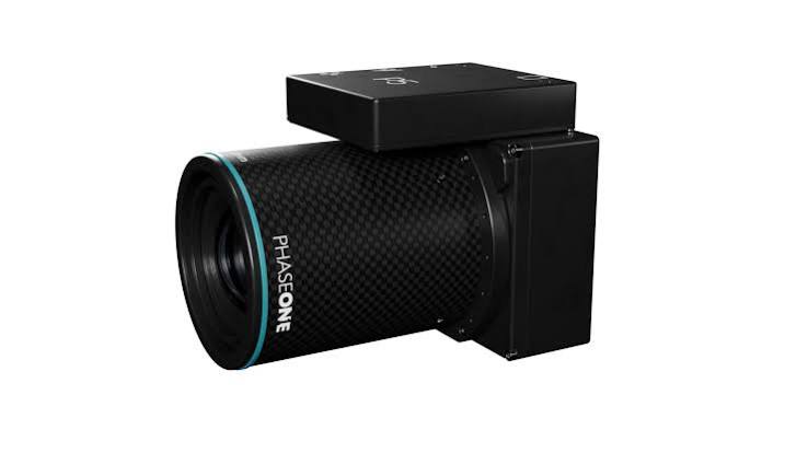
Phase One P5 — 128 MP
- 128 MP medium-format sensor
- Electronic global shutter
- 35 mm and 80 mm lens options
- Trinity Pro eVTOL payload integration
- Ultra-fine GSD over expansive concessions
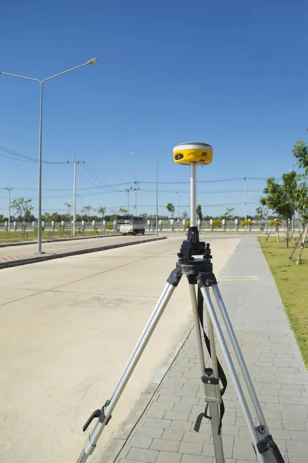
Multi-Band Geodetic GNSS Systems
- Emlid Reach RS3 + DJI D-RTK 3 Multifunctional Station
- Multi-constellation GNSS (GPS, GLONASS, BeiDou, Galileo)
- Tilt-compensated rover surveying
- Ground control and checkpoints (GCP)
- Base-station operation & Network RTK integration
Selected Field Projects
Execution metrics across survey concessions and asset inspections in Uzbekistan, Kazakhstan, and Azerbaijan.

14,500 Ha Concession Topography
Pre-construction terrain model and 0.25m vector contours for a 1GW utility solar and wind concession.
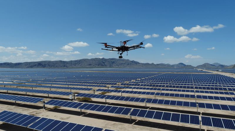
350 MWp Solar PV Thermal Audit
Radiometric thermal audit across 850,000 PV modules before warranty handover without plant downtime.

220 km 500kV Powerline LiDAR
LiDAR corridor survey modeling wire sag under peak thermal conditions and vegetation encroachment.
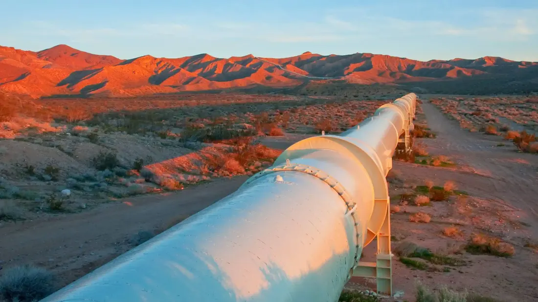
Caspian Pipeline Alignment & DTM
VTOL aerial photogrammetry and high-accuracy DTM for pipeline right-of-way and coastal terminal expansion.
Request a Proposal
Submit your scope details below or contact our flight desk directly. We provide turnkey proposals and timelines within 24 hours.
Direct Contact
Connect directly with our flight operations desk for rapid scoping, mobilization timelines, or immediate mission dispatch.